Geography
"If we find things challenging, we can use maps, diagrams and knowledge organisers to help us. We can also look at our floor books to help us recap our learning." - Year 5 pupil.
Intent
Our geography curriculum builds on children’s previous learning and own experiences to investigate places at all scales. It is these studies that inspire our children to ask and explore important questions about their world, as they learn the fundamental skills to help understand the link between human and physical processes. Core skills, knowledge, vocabulary and concepts acquired in the autumn and spring terms are applied towards the end of the year in the context of a place-based study. Place knowledge is cumulative and comparative.
We hope that this approach will enable children to develop into keen geographers whereby knowledge and understanding becomes deeply rooted in their long term memory. Our children understand their place in the world, becoming global citizens and understanding their roles and responsibilities to their immediate and wider environment.
Implementation
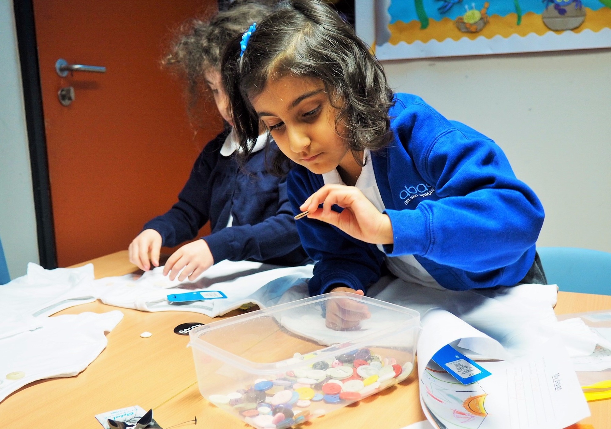
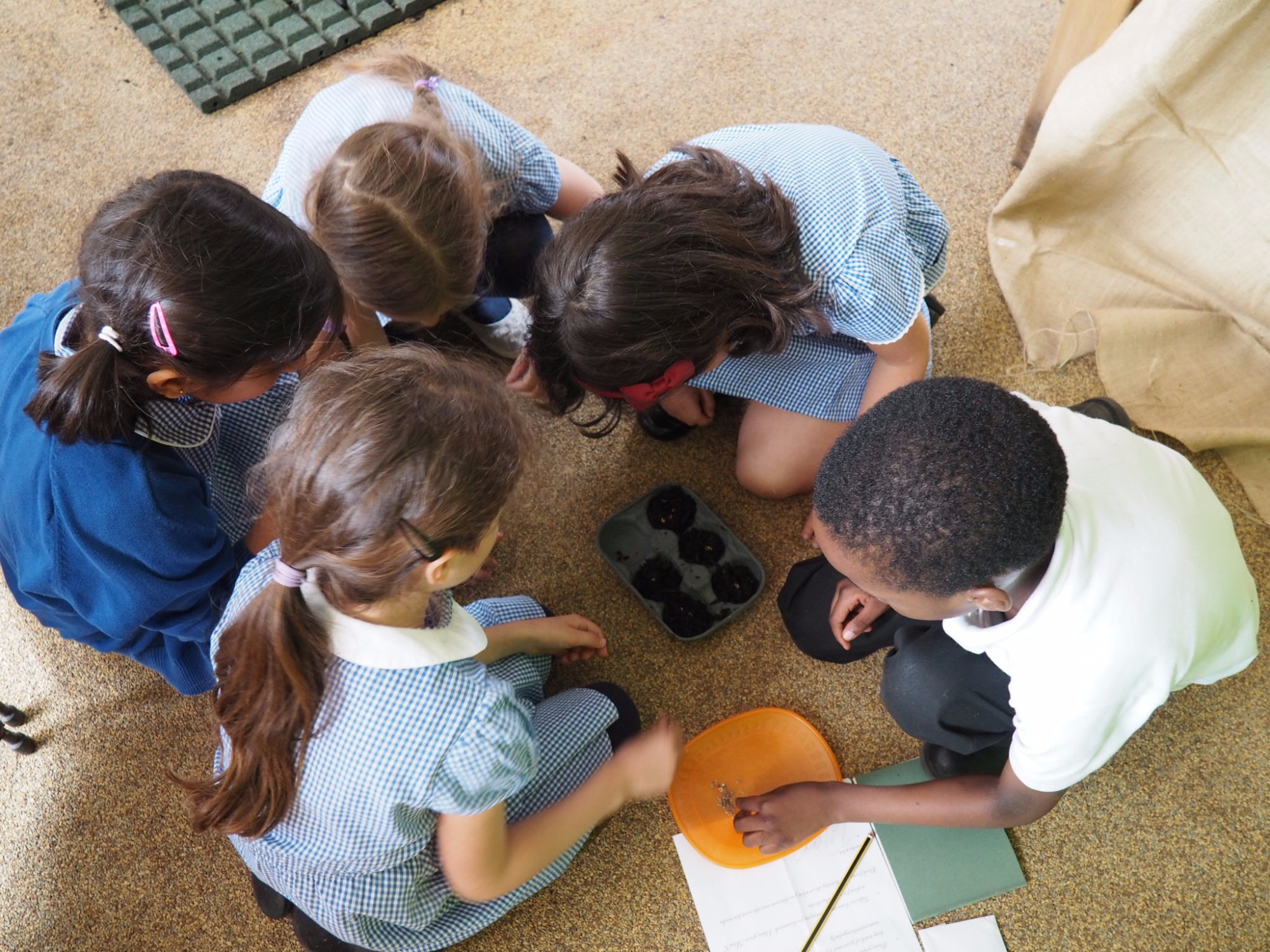
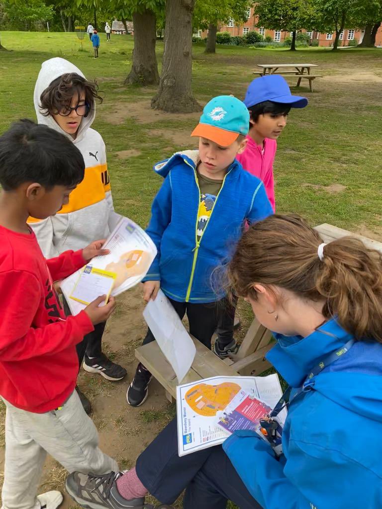
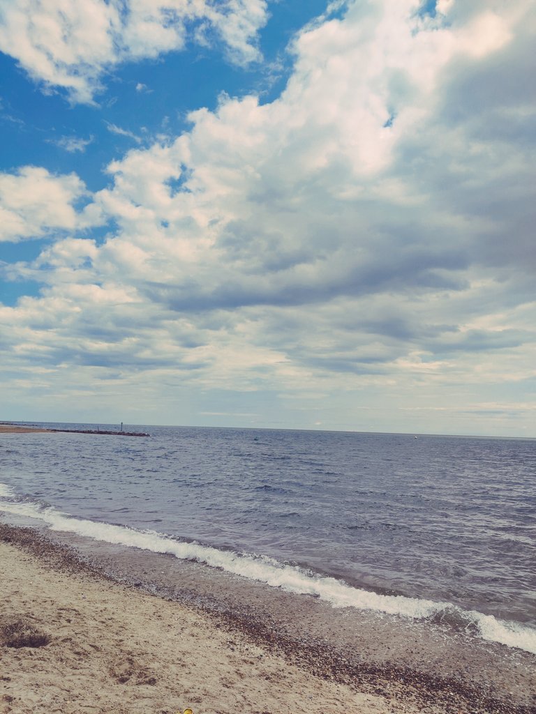
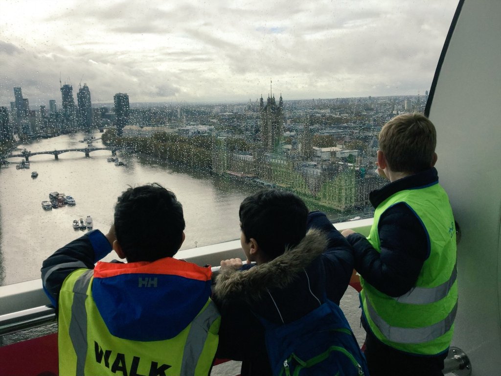
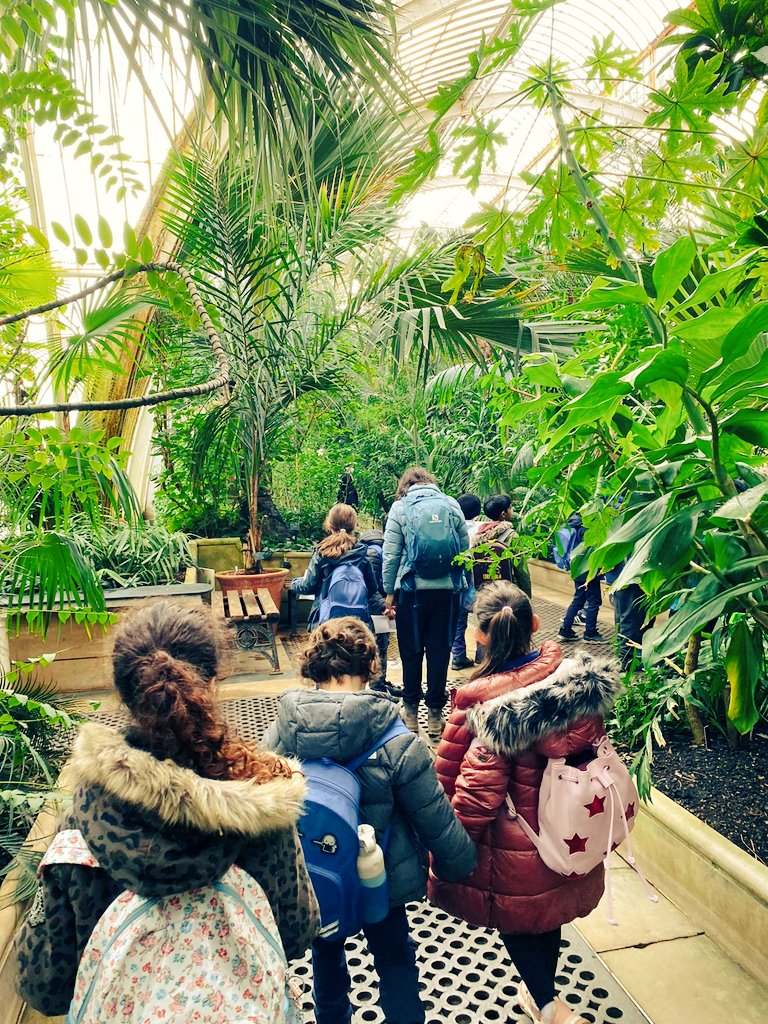
Geography is taught discretely in 3 blocks once a half-term across the year. Each block is taught for a full day each week on our 'Curriculum Day' every Friday. Elements of Geography are also taught within our history curriculum too. As part of our enrichment offer we visit the seaside as a whole school in the summer term to contrast and compare to the urban setting children live in. We also visit Hampstead Heath for a full day every half-term to enhance our fieldwork.
We use the scheme 'Oddizzi' to plan and teach our Geography curriculum. The scheme was selected due to the extensive level of CPD offered in partnership with the high quality lesson plans. It also offers the opportunity for classes to communicate with other schools across the world, through the 'Class Pals' feature. We believe this further enriches our Geography curriculum. This curriculum assures full National Curriculum coverage and is designed to meet the requirements of the 2019 Ofsted framework. Linked to each unit, we have assigned written activities to assess how well children are meeting their learning outcomes.
Through the design of each unit, pupils accumulate knowledge as they progress. For example, in Year 1’s local area study, children learn basic geographical concepts, knowledge, vocabulary and skills through the concrete experience of a familiar place. This then allows them to make meaningful comparisons with the Zambian locality of Mugumareno Village in Year 2. During Key Stage 2, this knowledge of places feeds into regional studies from the Americas, Europe and the UK. Knowledge becomes both broader and deeper as pupils progress and become familiar with an ever-wider range of places. This growing knowledge is also fed by the development of locational knowledge, geographical skills and a growing understanding of human and physical processes. At Key Stage 2, we have not considered it necessary that places in each year should be more distant than in the previous one. Rather, we have taken the view that a growing understanding of varied places and processes around the world should inform a conceptually rich understanding of life in the UK and Europe in Years 5 and 6.
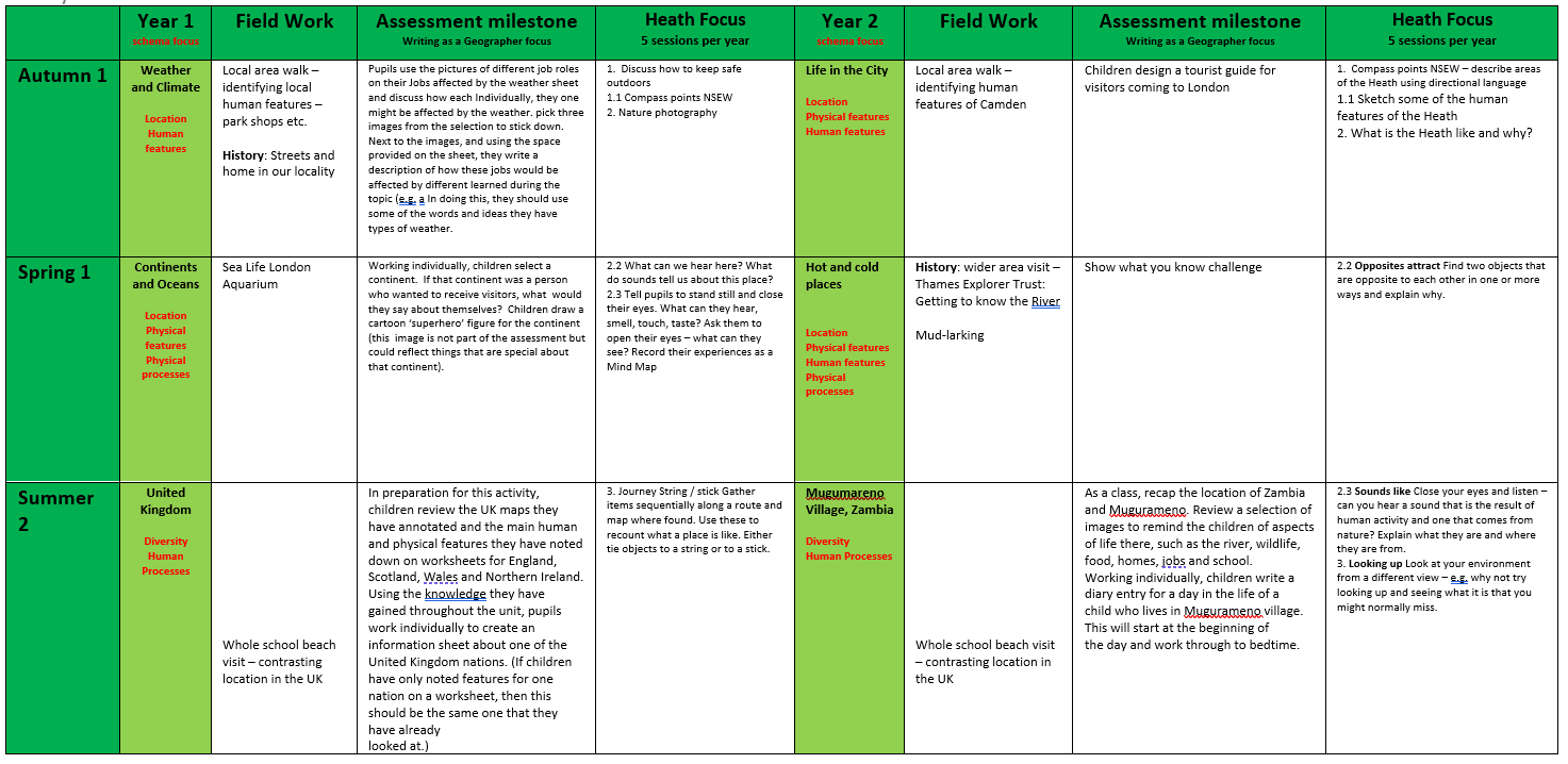
Year 1
By the end of Year 1, children should know:
- basic vocabulary and concepts about weather and the climate;
- the main nations and features of the UK, including their locations and related key vocabulary;
- the location and features of the local area.
By the end of Year 1, children should be able to:
- create a simple weather chart;
- annotate a simple map of the UK with some of its key features;
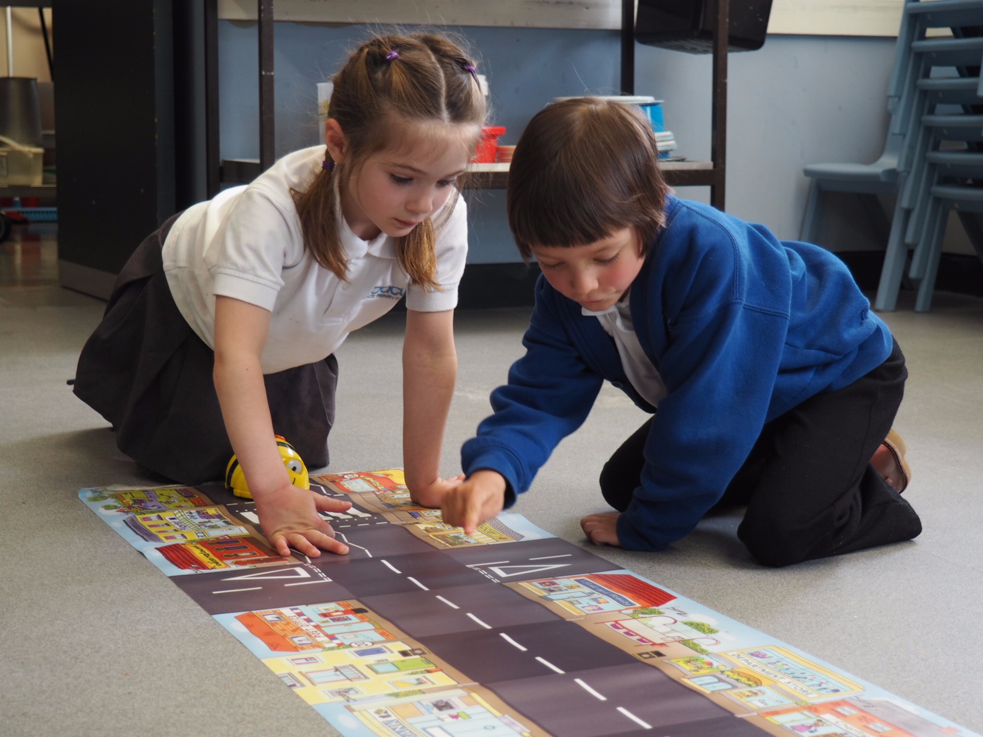
- look at simple maps and aerial views of the local area, discussing and asking questions about its main features and the way symbols have been used;
- work together to create a simple map of the local area;
- observe, record, discuss and ask questions about the main features of the local area, based on direct experience;
- make connections between their investigation of the local area and what they have learned about weather, climate and the UK;
- use appropriate vocabulary when describing local features and those of the UK, including for seasons and local weather.
By the end of Year 2, children should know:
- the names and locations of the world’s continents and oceans, and some information about each of them;
- where the world’s main hot and cold regions are, and some information about what they are like;
- the location and features of a contrasting locality in Zambia, comparing and contrasting it with their local area and situating it within the African continent;
- how their location within hot and cold regions might affect everyday life differently in the UK and Zambia.
By the end of Year 2, children should be able to:
- use globes and atlases – and annotate maps – to identify continents and oceans, including the location of the UK, Europe, Zambia and Africa;
- use globes and atlases – and annotate maps – to identify the world’s hot and cold regions, locating the UK and Zambia within them;
- look at simple maps and aerial views of a contrasting locality in Zambia, discussing and asking questions about its main features and comparing these with the UK;
- use appropriate vocabulary for continents and oceans, for hot and cold regions and when describing and comparing a contrasting locality in Zambia with their local area;
- make use of the four main compass points when describing the location of these key locations and regions.
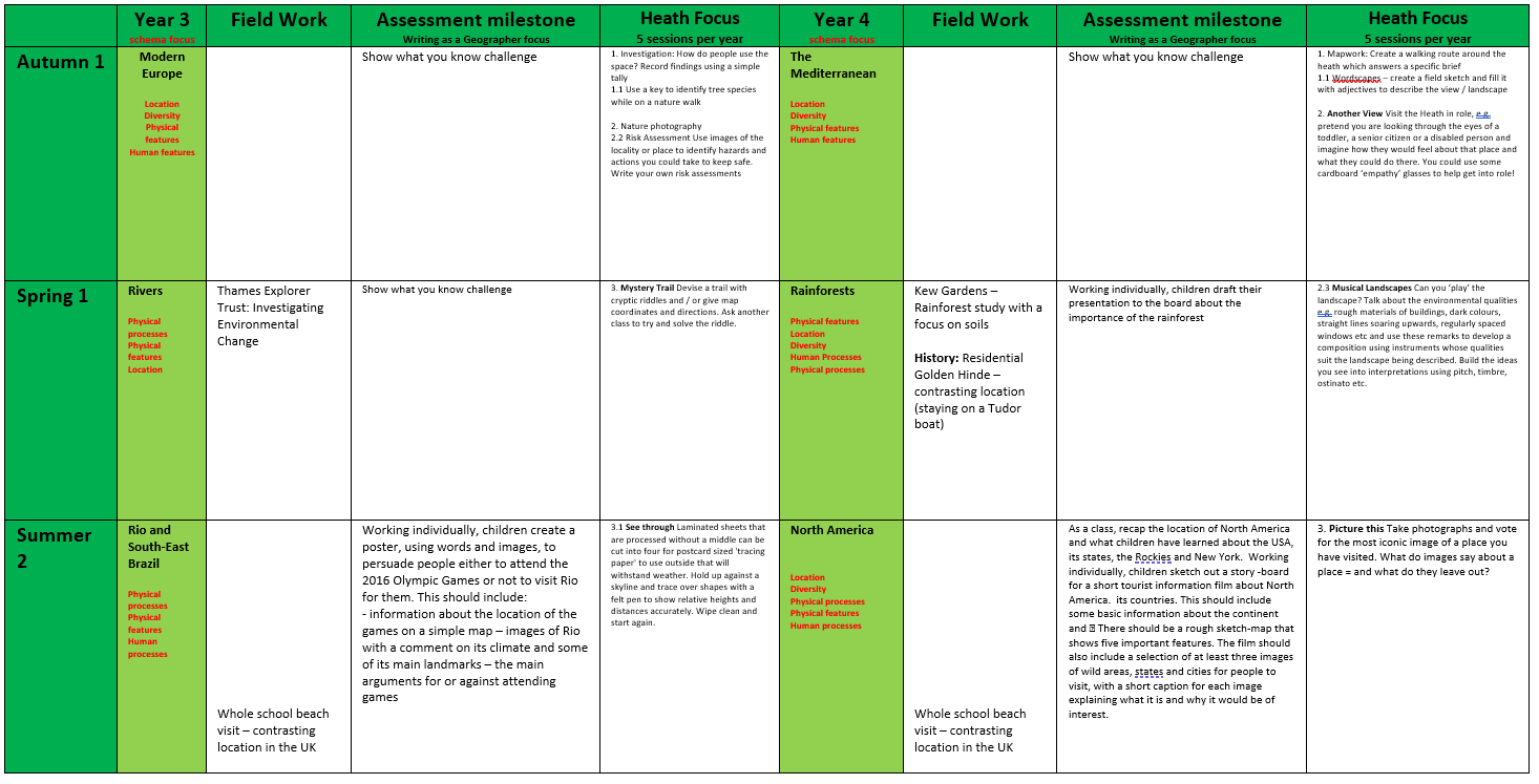
Year 3
By the end of Year 3, children should know:
- where the world’s main climate zones are (building on their prior understanding of hot and cold regions);

- the location and main human and physical features of North and South America;
- the location and human/physical features of Rio de Janeiro and South-East Brazil, as a region in The Americas, comparing and contrasting this region with places previously studied;
- how their location within different climate zones might affect everyday life differently in South-East Brazil and places previously studied;
- the location of South-East Brazil and Rio de Janeiro within the South American continent;
- about processes of settlement, trade, tourism and culture in South-East Brazil and Rio de Janeiro.
By the end of Year 3, children should be able to:
- use globes and atlases to identify climate zones and consider their impact on different parts of the Americas, including South-East Brazil;
- use globes, atlases and maps to identify the main human and physical features of North and South America;
- interpret maps and aerial views of the Americas, South-East Brazil and Rio de Janeiro at a variety of scales, discussing and asking questions about their main features, and comparing these with places previously studied;
- use appropriate vocabulary when describing the Americas, South-East Brazil and Rio de Janeiro and comparing them with other places; when describing climate zones and human processes; and when describing place locations and map features (e.g. the Equator, the tropics, the world’s hemispheres).
Year 4
By the end of Year 4, children should know:
- the key elements and features of a river;
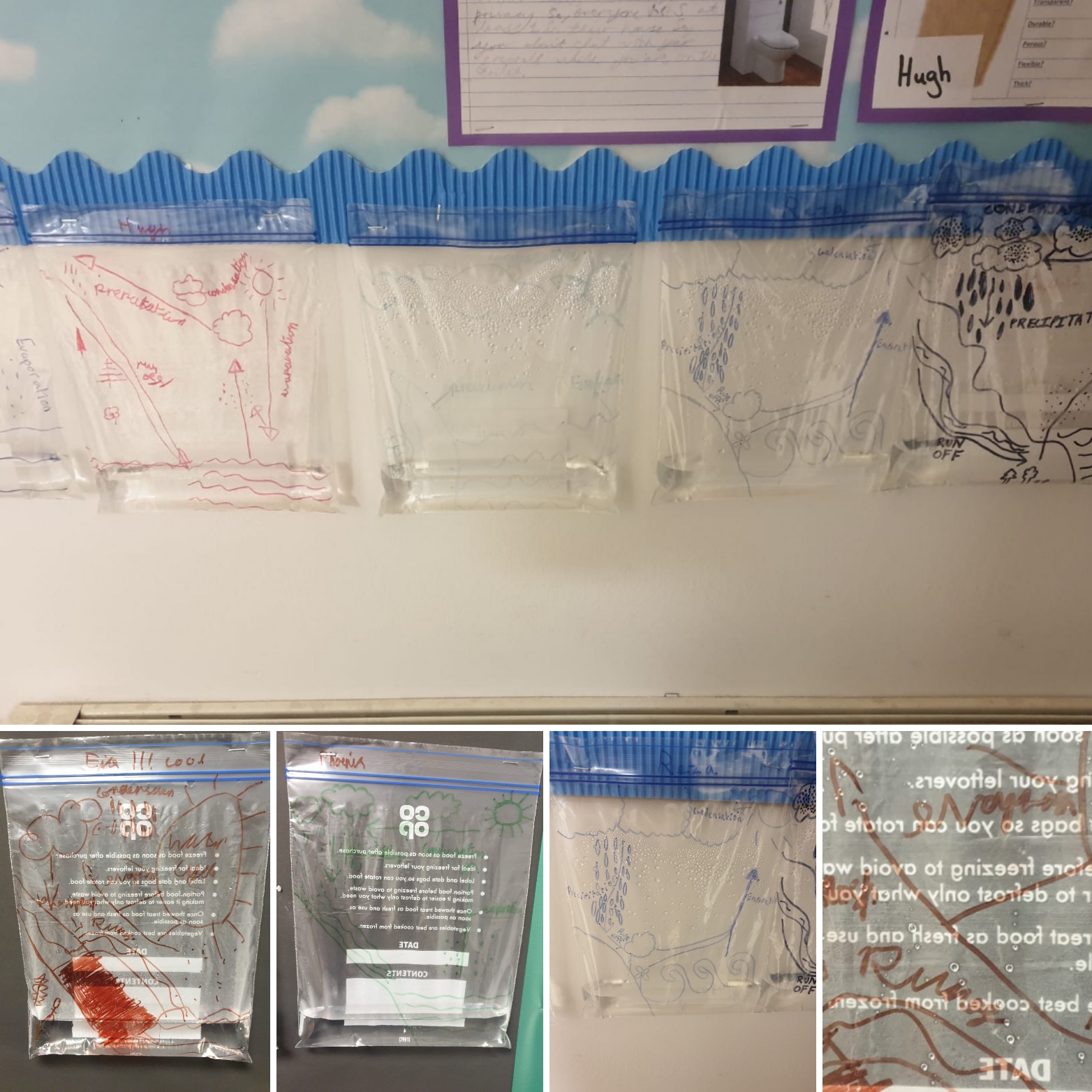
- the key elements of the water cycle;
- the names of – and key information on – the world’s main rivers;
- basic ideas about flood management;
- the key elements of a rainforest biome, how these contrast with other biomes and the main location of the world’s rainforests (including the Congo);
- the location and principal features of the Amazon, situating it within the globe and the South American continent and comparing and contrasting it with South-East Brazil;
- how physical processes involving rivers, the water cycle and rainforests distinctively apply to the Amazon;
- how some human beings have adapted to life in the rainforest and the Amazon.
By the end of Year 4, children should be able to:
- interpret and explain key information on rivers;
- evaluate a range of possible flood prevention measures;
- use globes, atlases and maps to locate the world’s principal rivers, rainforests (and other biomes), including the Amazon;
- interpret a range of maps and aerial views of the Amazon and apply this information to their understanding of it;
- use appropriate vocabulary when describing the Amazon; rainforest and other biomes; rivers and river features; and place locations.
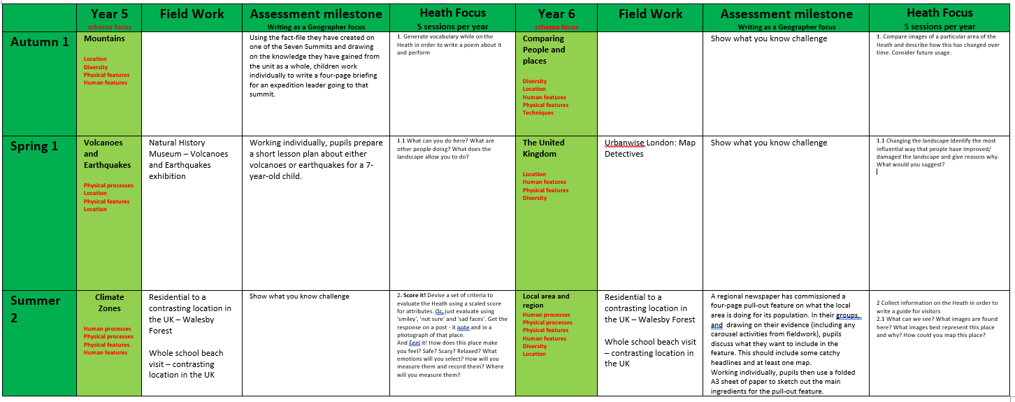
Year 5
By the end of Year 5, children should know:
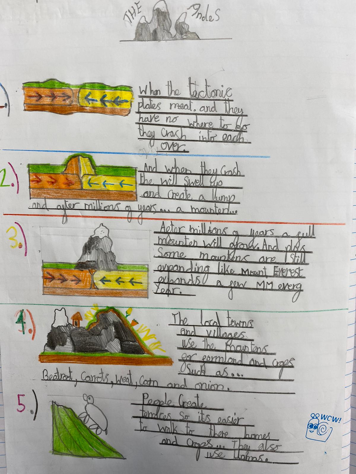
- the names and locations of the world’s principal mountains, volcanoes and areas at risk from earthquakes;
- the main features and types of mountains;
- how some people have adapted to life in mountainous areas;
- the main features and causes of volcanoes and earthquakes;
- the location and principal features of the region around Athens, when seen at a range of scales, from the global to the immediately local;
- ways in which human processes (such as tourism and migration) operate within the Mediterranean, Greece and Athens;
- ways in which the location and physical geography of the region impact on (and are impacted by) human activity – this includes the key role of the Mediterranean Sea, as well as core knowledge about mountains, volcanoes, earthquakes, etc;
- how people can respond to a natural disaster, such as an earthquake;
- ways in which the location and distinctive features of Greece and the Athens region (including everyday life) compare and contrast with those of other places studied;
- about place-specific patterns of continuity and change (including different perspectives on issues in the news, as well as ways in which modern-day Greece compares and contrasts with its past).
By the end of Year 5, children should be able to:
- interpret a range of maps and aerial views of Athens, Greece and the Mediterranean region and apply this information to their understanding of it (e.g. when arguing the case for tourism in the Mediterranean);
- look critically at a topical issue in this region, raising questions about it, considering the reliability of sources and exploring and evaluating a range of viewpoints;
- use globes and atlases to identify the location of Greece and the Mediterranean;
- use and apply appropriate vocabulary when describing the location and distinctive features of mountains, volcanoes, earthquakes, the Mediterranean, Greece and Athens.
Year 6
By the end of Year 6, children should know:
- the location and principal features of the UK and their local region when seen at a range of scales, from the global to the immediately local;
- ways in which human processes (such as economic and political processes, the distribution of energy, land use, settlement and change) operate within the UK and their local region;
- ways in which the location and physical geography of the UK and their local region impact on (and are impacted by) human activity in the region;
- ways in which the location and distinctive features of the UK and their local region compare and contrast with those of other places studied.
By the end of Year 6, children should be able to:
- interpret a range of maps of the UK and the local region and apply this information to their understanding of it;
- use maps and supporting information to route-plan a tourist trip around the capital cities of the UK;
- use fieldwork to collect and critically evaluate data from a range of viewpoints about the local region, how it meets people’s needs, and how it might change;
- use and annotate Ordnance Survey maps, including the use of grid references, in order to present arguments about change in the local region;
- use appropriate vocabulary when describing key information about the UK and the local region to external audiences.
Impact
Assessment
Through the design of each unit, pupils accumulate knowledge as they progress. For example, in Year 1’s local area study, children learn basic geographical concepts, knowledge, vocabulary and skills through the concrete experience of a familiar place. This then allows them to make meaningful comparisons with the Zambian locality of Mugumareno Village in Year 2. During Key Stage 2, this knowledge of places feeds into regional studies from the Americas, Europe and the UK. Knowledge becomes both broader and deeper as pupils progress and become familiar with an ever-wider range of places. This growing knowledge is also fed by the development of locational knowledge, geographical skills and a growing understanding of human and physical processes.
Assessment milestones are used to identify key learning in geography and teachers use an assessment grid to record children's learning of the unit. We assess children towards the end of each unit, using either a written outcome or a 'show what you know' activity. Children record their learning in curriculum books and whole-class activities and learning are recorded in the Geography floor books.
THRIVE-ing in Geography
"Geography is fun because we sing songs to help us remember the continents." - Year 1 pupil.
"I enjoy the fun activities we do, like studying the maps or doing detailed drawings about how rivers work." - Year 3 pupil.
"My favourite thing about our topic learning is that we have a home learning grid to complete projects every half term." - Year 5 pupil.
"If we find things challenging, we can use maps, diagrams and knowledge organisers to help us. We can also look at our floor books to help us recap our learning." - Year 5 pupil.
"In Year 3, we learned about Pompeii, so we can build on our knowledge of volcanoes. Our mountains topic at the beginning of Year 5 has really helped our understanding." - Year 6 pupil.
"We went on a school trip to the earthquakes and volcanoes exhibit at the Natural History museum." - Year 6 pupil.
EYFS
Children in reception investigate geography through the specific area 'Understanding the World'.
Through focus groups and free-play activities in the learning environment, children are encouraged to explore the seasons and talk about what they see changing. They describe what they feel, see and hear in the playground and whilst on Hampstead Heath. Children are taught to recognise the differences and similarities between their own immediate area (home/ school) and compare this with what life is like for others. Children explore the world in EYFS, giving them a solid foundation for geography skills needed in KS1 and beyond.
Examples of geography in EYFS:
- describing what they see and hear on the Heath
- constructing with natural materials
- spotting patterns in nature
- learning what happens to trees during the change of seasons
- using and creating simple maps
- discussing the weather and how to keep healthy
- comparing their home to others
- local area walks
- animals and their habitats
- stories from around the world